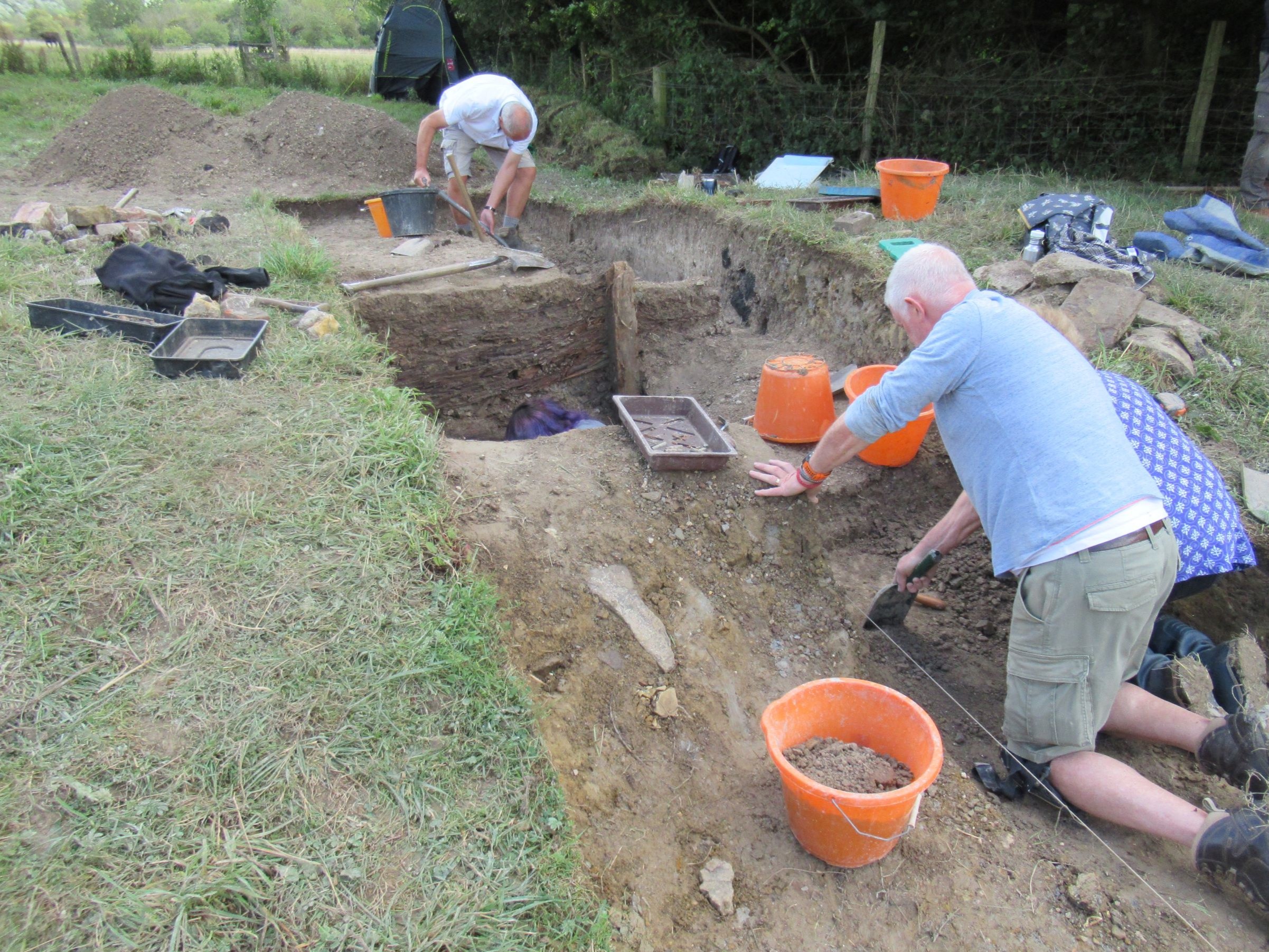
Starting in July 2023, there has been an annual week-long excavation on the range, with four trenches opened so far. Full archaeological reports will be added to the site over time, but for the moment here are some images from the excavations. The core excavation team currently consists of Greg, Dave, Phil, Justin and Molly, with numerous volunteers assisting throughout the week.
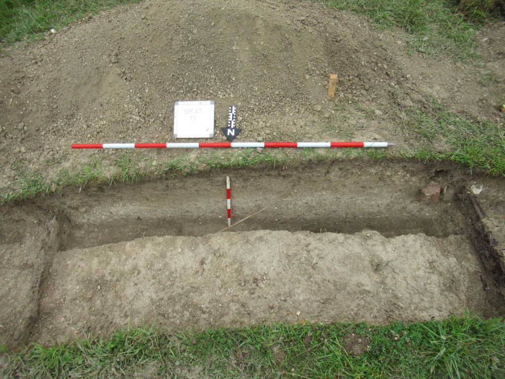
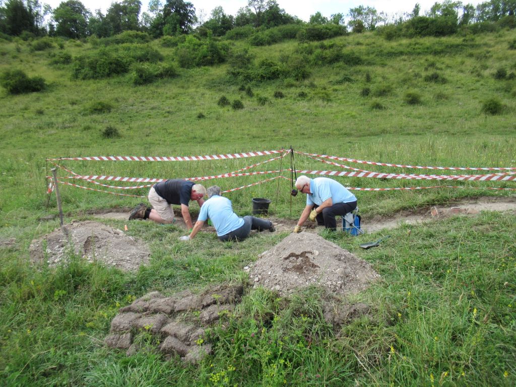
Trench 1
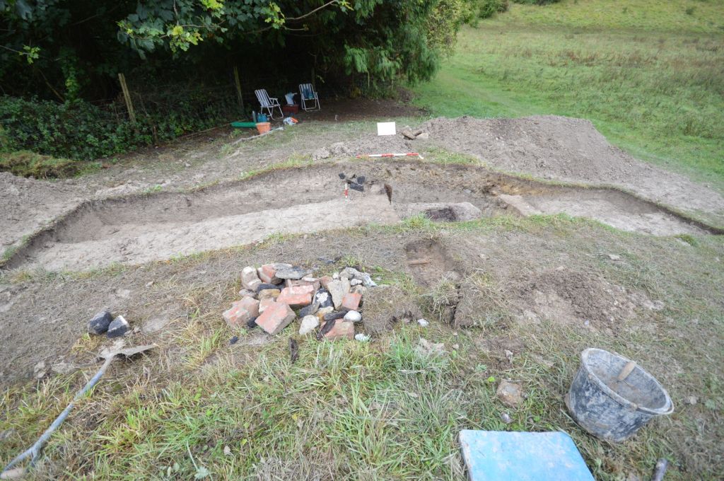
In the first year two trenches were opened, trench 1 at the 200 yard firing point, trench 2 in the backstop. This was a little ambitious and there wasn’t really time to do both justice, so it was decided to close trench 2, with an eye to return in the future. Trench 1 proved very interesting and showed how the firing point had been built and adapted over time.
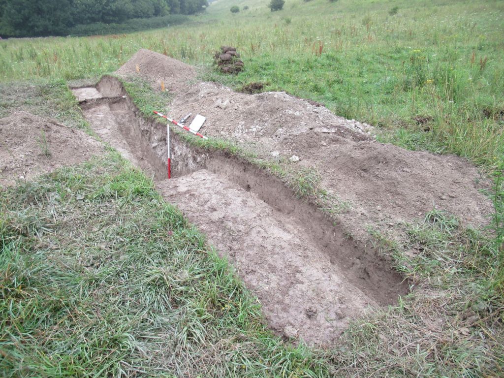
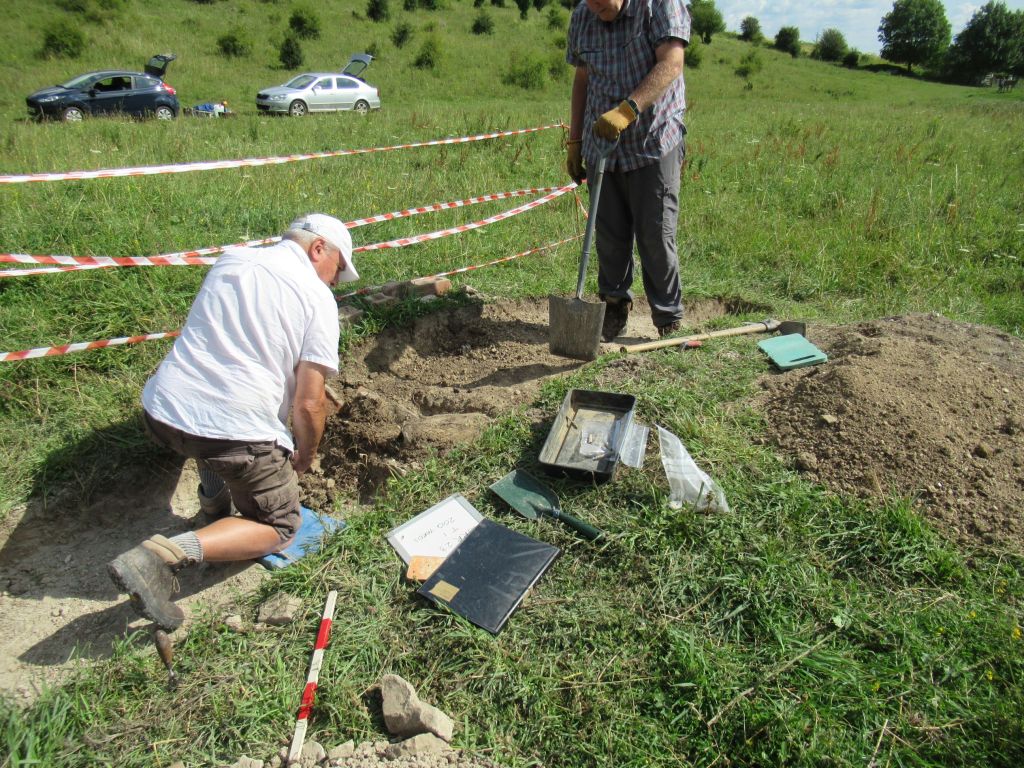
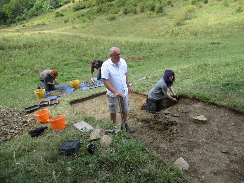
Trench 3
Trench 3, dug in 2024, was located over the 100 yard firing point. Like trench 1, this revealed how the firing point had been built and adapted.
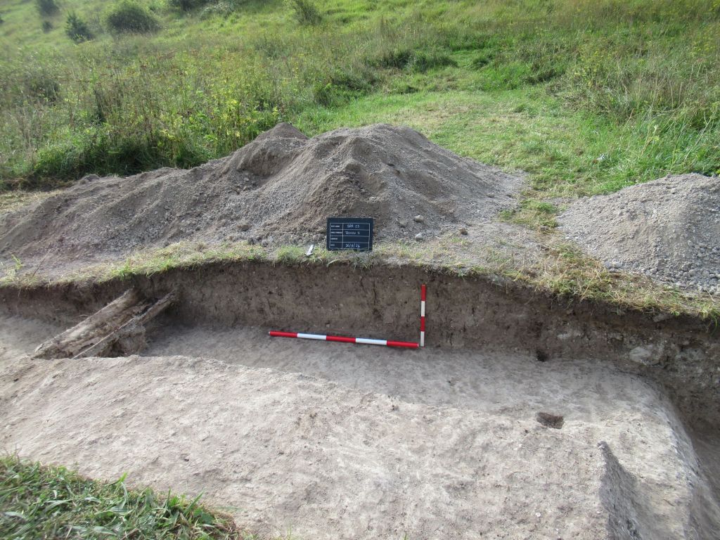
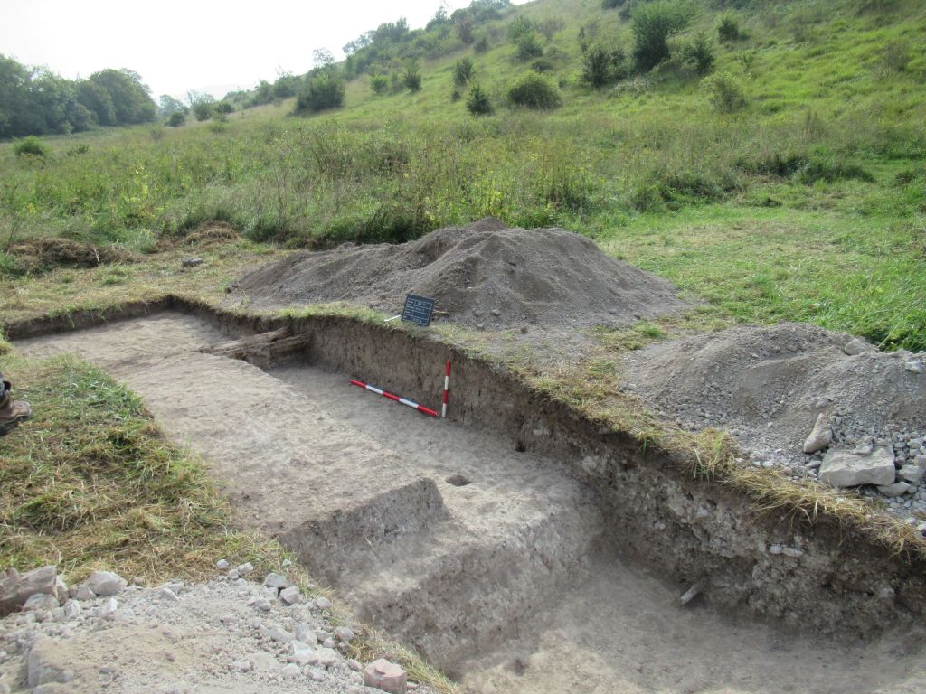

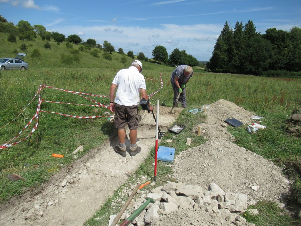
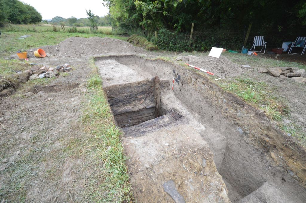
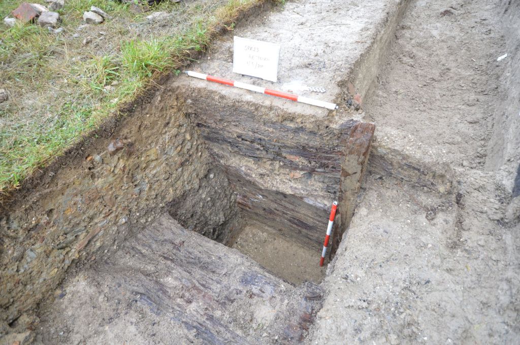
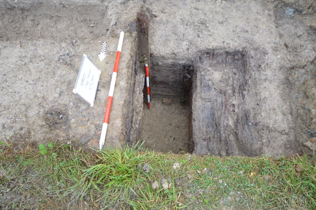
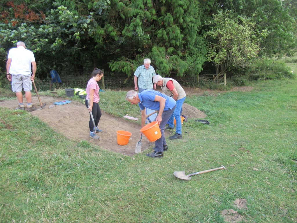
Trench 4
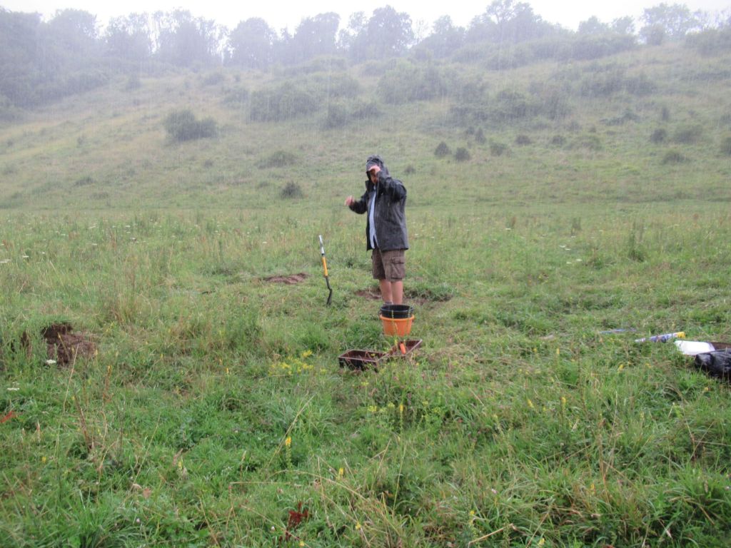
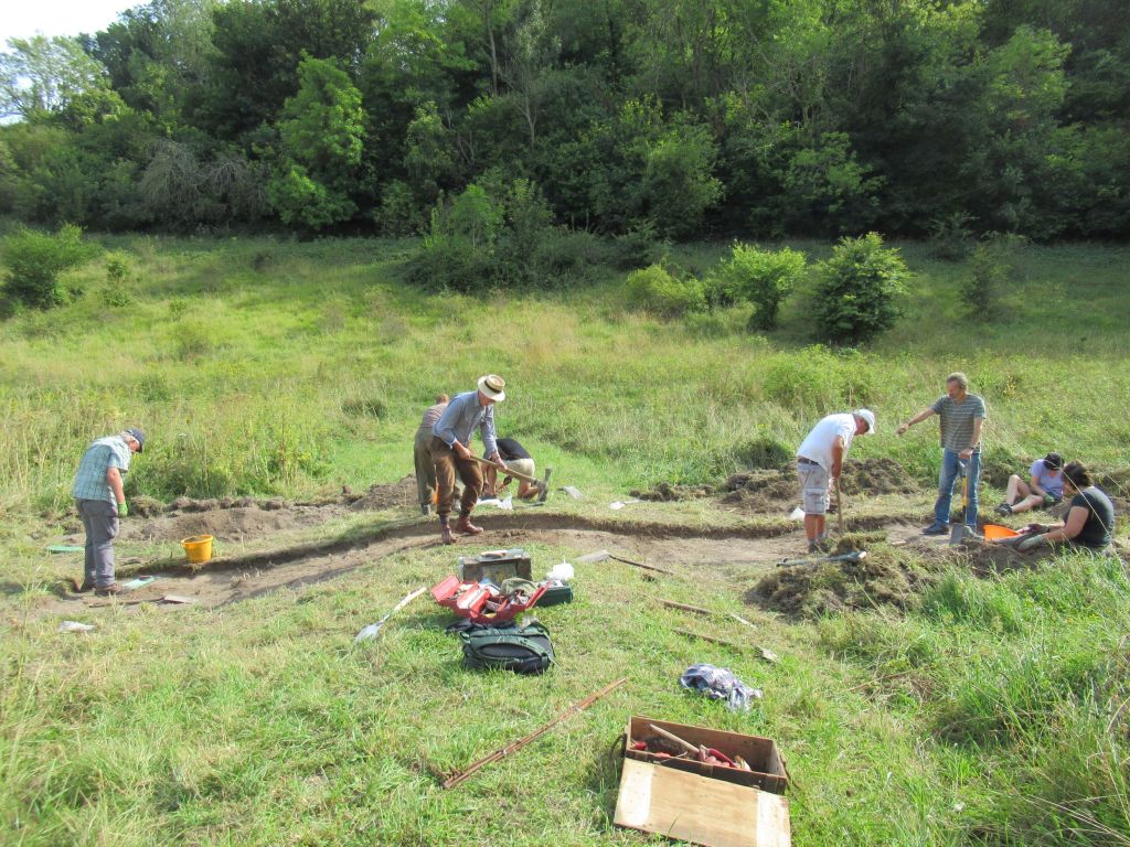
Trench 4, excavated in 2025, was located on the 300 yard firing point. This was probably the best year yet, with not only the firing point excavated, but the fire trench in front of it too.
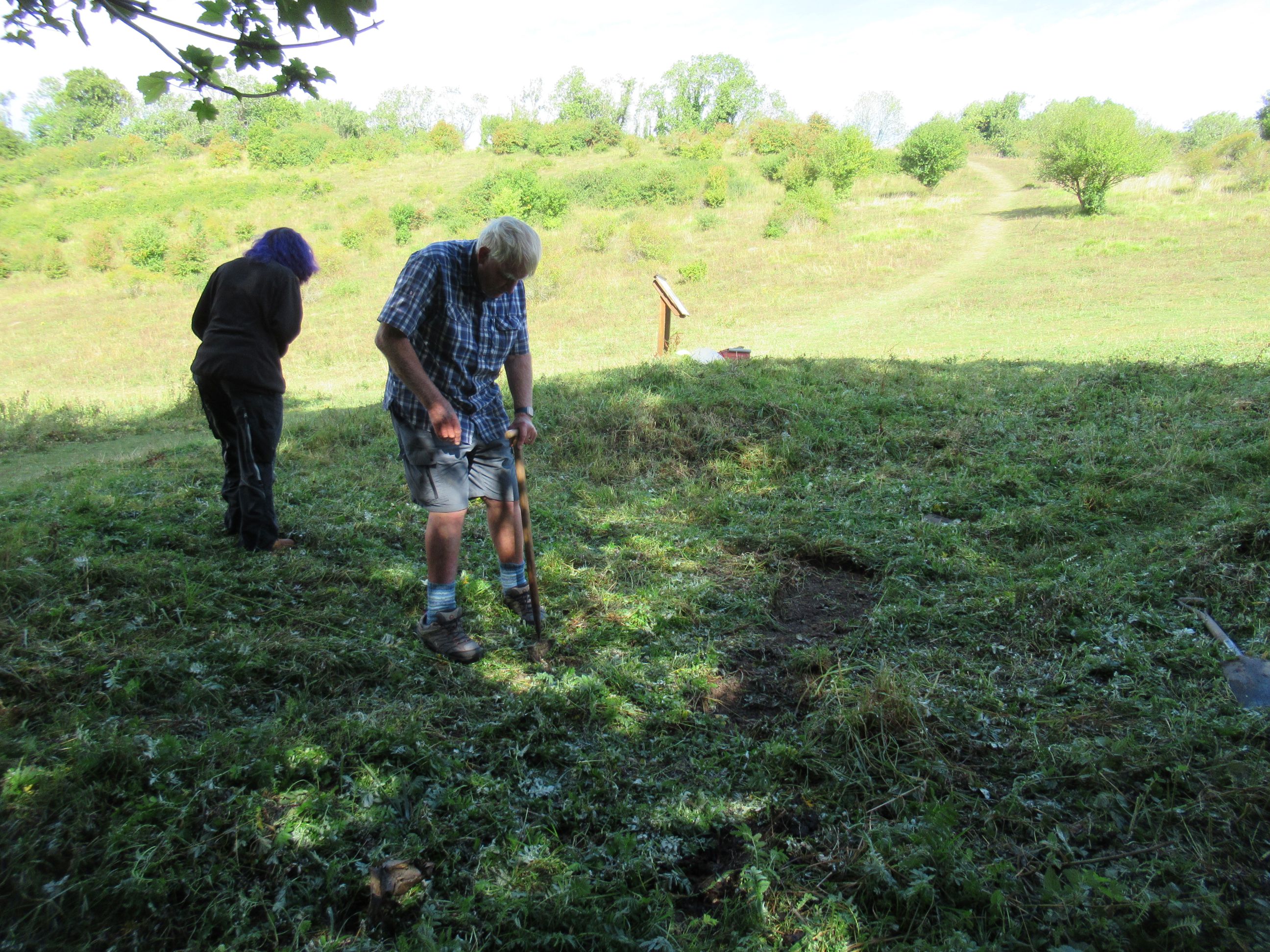
Dave and Molly cutting the turf on trench 4.

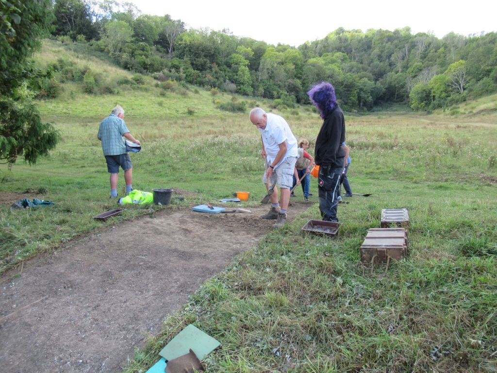
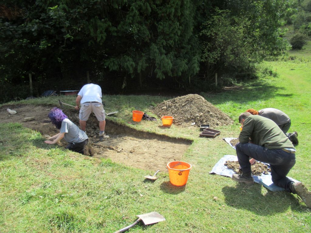
Volunteers Paul and Marion excavate the front of the firing point bank, Greg excavates the rear and just visible in the centre, Molly excavates the fire trench.
Thanks to Pete Varkala for helping with the backfilling.
building recording
Prior to all excavation and conservation work, a full building recording survey was conducted on the markers’ gallery, to aid in interpretation. The original Steyning Rifle Range report can be found on the other projects page, but please note that some of the information in it is out of date and is replaced by the content on this website. The drawings below have been updated as the conservation work progresses, with any new information.
The markers’ gallery in plan and elevation
Section through the mantlet and marker’s gallery in comparison to the illustration from Musketry Instructions, 1910.
Detail of a Hythe pattern target frame (with cables attached and one carriage in the raised position).
Elevations of the target store.
lidar survey
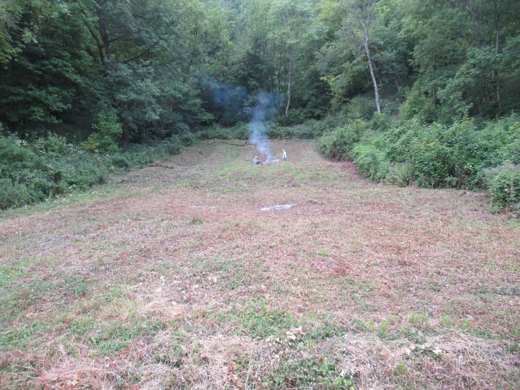
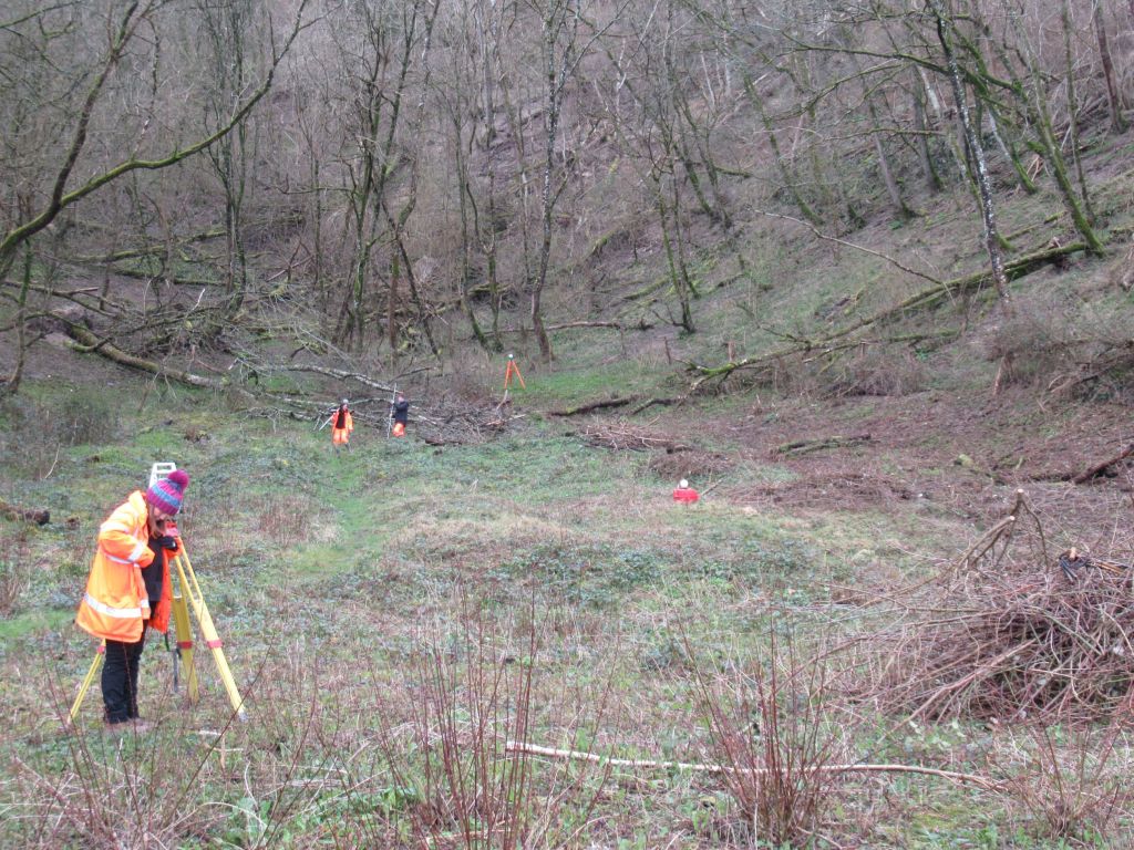
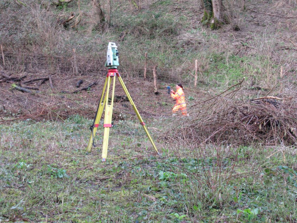
The unusual banks and furrows in the backstop were initially surveyed with total station and GPS in 2016 (by John Cook), and to compliment this, in 2023 and 2024 a LiDAR survey of the site was created (conducted by Naomi Humphreys and Geodime). The vegetation growth on site had to be cleared in two stages, to keep a buffer zone as a wildlife habitat, meaning the survey also had to be done in two stages.
The 2016 survey above. The 2023-2024 survey below.
The results of the LiDAR survey can be seen below.
The furrows and banks (running approximately left to right) align nicely with the targets. Note the two (approximately) vertical furrows.
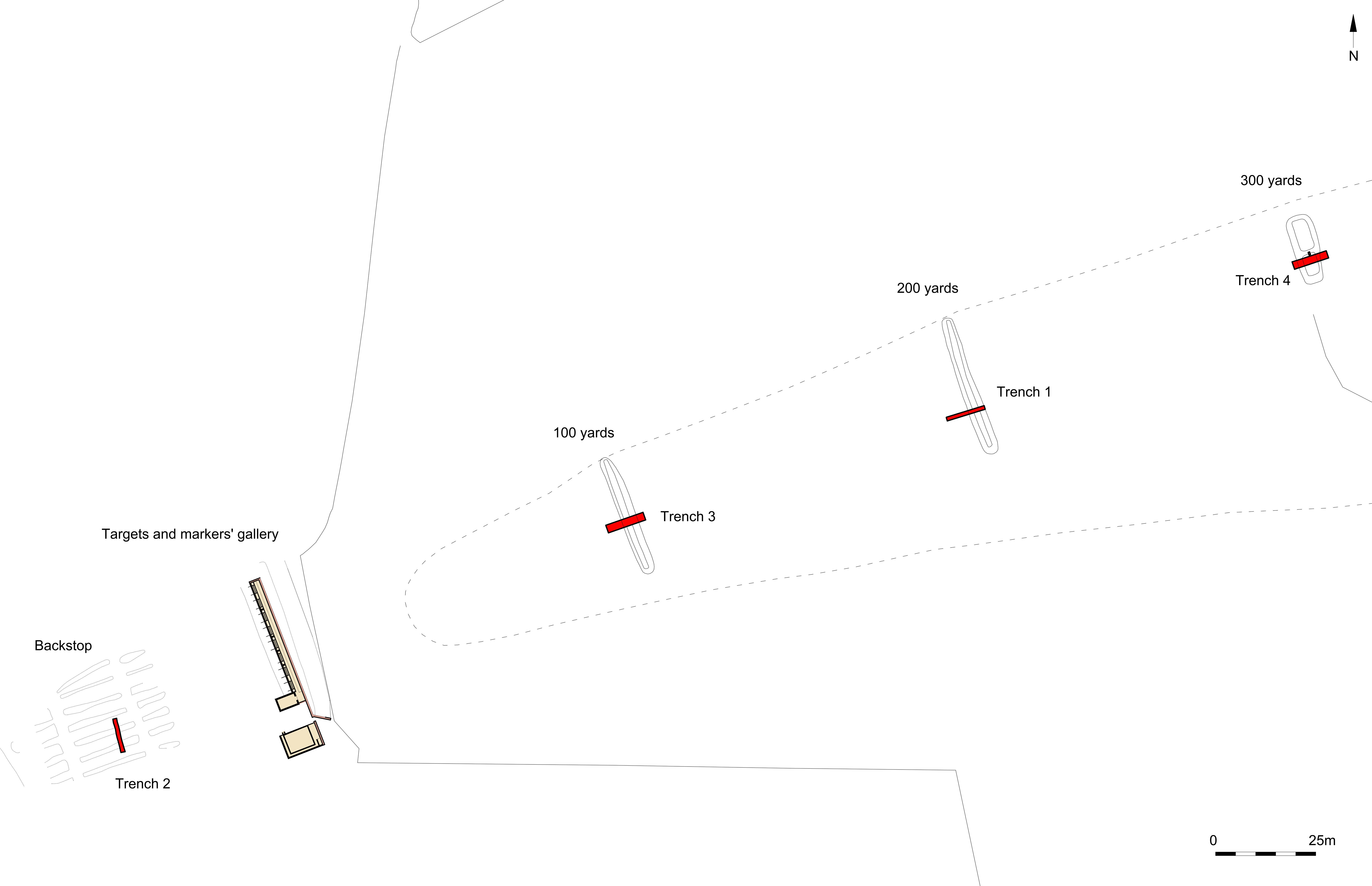
KNEPP RIFLE RANGE
The Knepp and Steyning rifle ranges are connected via their creation for use by the 18th Sussex Rifle Volunteers, albeit Knepp being the slightly younger sibling. In 2019 a survey of the range was carried out, with the kind permission of the Knepp Estate, who have given permission to reproduce the details here. Please note the backstop is on private land and it is not open to visitors.
The Knepp range was discontinued around 1877, after the death of Percy Burrell and, unlike Steyning, which has evolved with the rifles using it, Knepp range is frozen in time, in the 19th century. The range closed before the official adoption of the Martini Henry (although newspaper articles cite it’s use there), so the iron target system would have remained in use until the demise of the range. Nothing of the iron targets remain (undoubtedly the targets were sent for reuse elsewhere or scrapped), but the backstop earthwork remains very well preserved. The survey in 2019 was conducted with John Cook and the interpretive hachure plan based on the results can be seen below.
The survival of the stop-butt/backstop is good and the cutting can be seen clearly.
The section above is based on two transects, one through the target area and stop-butt, while the other was through the eastern slope of the hill and the eastern mantlet. The material removed from the cutting was used in the construction of the stop-butt.
The original report from which these illustrations came, can be found here: Knepp Rifle Range report.
other projects
If the information on the website is of interest, please clink this link to the Other Projects page to find information on a few other archaeological reports in the south-east of England.
